![]() NORTH EAST INDIA
NORTH EAST INDIA

ASSAM
 Assamese women weave dreams on their looms,” said Mahatma Gandhi during his visit to Assam in 1921
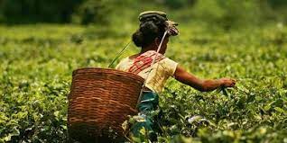
Assam is the gateway of the Northeast. It is a state of breathtaking scenic beauty lofty green hills and a land of airs and festivals, which is dominated by Mighty Brahmaputra river. It is also known as land of temples.Assam is also known and famous for Tea and one horned Rhino, Which is found in large number at Kaziranga National park. It has several places of historical and archeological interest.This is very brief descriptions about the natural beauty of Assam. You well acquainted with it in the Hindi movies like Kalpanalazmi's DAMAN, & Mani Ratam's DILSE which are shooted in most of the towns of Assam.
History
Assam's history goes back to ancient times. The base of this history can be found in Tantric literature, Buddhist literature, Assamese folklore and Vedic literature. However, first mention of the state of Assam is found in the epics and the religious legends. The Aryans belonging to the priestly and warrior classes found their way into Assam in very early times. Various places mentioned in the epics, like Mahabharata etc. are now identified with sites in this state.
Earliest mention of this region was mentioned by the Chinese explorer, Chang Kien, as having trade links with China in 100 B.C. The Periplus of the Erythrean Sea and Ptolemy's Geography also acknowledge the existence of this region before Christ. The Australoids or the pre-Dravidians were the earliest inhabitants of this state. The Mongoloids entered through the eastern mountain passes and overran the land long before the compilation of the Hindu religious literature known as the Vedas. Huen Tsang, the great Chinese traveler, visited this region in the 7th century. At that time, Pragjyotishpur was known as Kamrup. It was a strong kingdom under King Bhaskaravarman.
The Ahoms who belongs to the Shan dynasty and closely related to the Thai's entered Assam in 1228. The entry of Ahoms in Assam started a new era. Many scholars are of the opinion that the state was named after this dynasty, which went on to rule for six centuries.
The Mughal Empire was at its zenith during this time and taking the Ahoms to be a challenge, they attacked the state 17 times. The last of the wars, fought near the present-day Saraighat Bridge over river Brahmaputra in Guwahati, saw the Ahoms inflicting a crushing defeat on the Mughals under the leadership of the able general, LachitBarphukan, who has been immortalized in Assamese folklore.
Thereafter, apart from a brief period during the reign of King Rudrasingha, the state went into a gradual decline in the 18th century. This was when the Burmese attacked and annexed the state. However, they could not hold it for long, and in 1826 the British forced them to cede Assam by the Treaty of Yandaboo. There begins the history of this region with rest of India.
![]() ARUNACHAL PRADESH
ARUNACHAL PRADESH

 Simple life, happy life
Arunachal Pradesh, a serene land tucked into the North Eastern tip of India, invites you to relax in its picturesque hills and valleys, enjoy its salubrious climate and meet its simple and hospitable people, with their glorious heritage of arts and crafts and colourful festivals that reflect their ancient faith in the inexorable power of nature. This is the first Indian soil to greet the morning sun. Dawn first illuminates Arunachal's border with China: a long border which stretches all the way from its east, over to its northern boundaries and down to its north- western edge where it merges with Tibet. To its west is Bhutan and on its southern end it touches Assam, Nagaland and Burma before sweeping up to China.
HISTORY
Arunachal Pradesh finds mention in literature such as the KalikaPurana and in the epics of Mahabharata and Ramayana. It is believed that sage Vyasa meditated here and also that the remains of the brick structure, scattered around two villages in the hills north of Roing was the palace of Rukmini, the consort of Lord Krishna. The sixth Dalai Lama was born on the soil of Arunachal Pradesh. Arunachal Pradesh became a full-fledged state on February 20, 1987. Till 1972, it was known as the North Eastern Frontier Agency (NEFA). Administratively, the state is divided into three districts. Capital of the state is Itanagar in Papum Pare district. Itanagar is named after Ita Fort, meaning Fort of Bricks' built in 14th century A.D.
![]() MIZORAM
MIZORAM


Myanmar and Bangladesh border Mizoram, the finger-like projection in the extreme south of the region. This region gained a measure of self government as a state in its own right. The Mizos have the second highest literacy rate in India.
Mizoram, predominantly a Christian populated state, is towards the southern-most tip of the North-Eastern states, sharing borders with Manipur, Assam, Tripura and then jutting between Myanmar and Bangladesh. The word Mizo means "highlander", a collective term given by their neighbours to a number of tribes, which settled in this area. They are orginally believed to have come from North-Western China and gradually pushed themselves to their present homeland, less than 300 years ago. A mountainous region, Mizoram became the 23rd state of the Indian Union in February 1987. The hills are steep with an average height of 900 metres. Its green thick forest is rich in flora and fauna. Mizoram has an area of 21081 sqkms.
HISTORY
The word Mizo means highlander, a collective term given by their neighbours to a number of tribes which settled in this area. They are originally believed to have come from North-Western China and gradually pushed themselves to their present homeland, less than 300 years ago.
![]() MEGHALAYA
MEGHALAYA


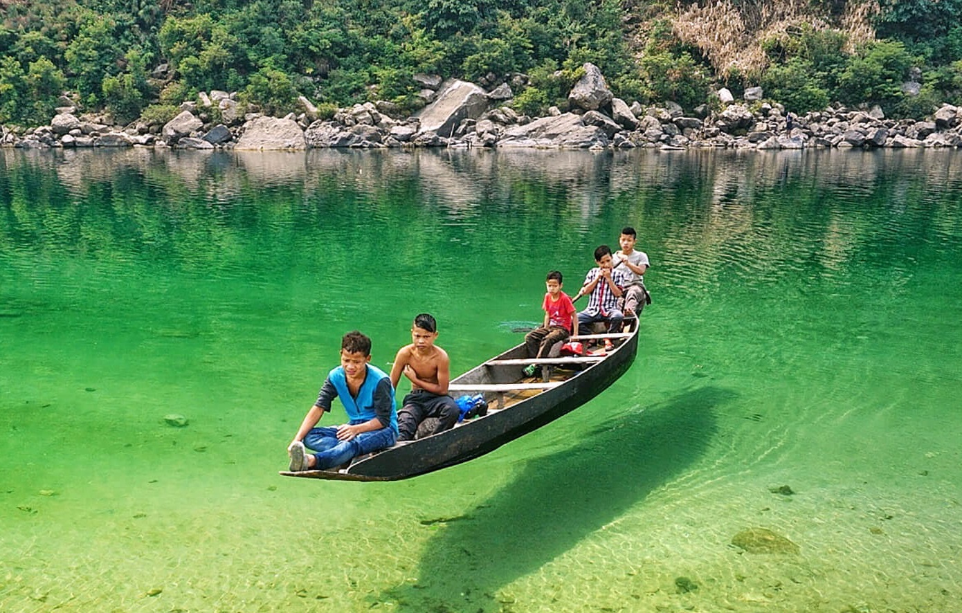
Meghalaya is literally the 'Abode of the Clouds'. The name describes the climatic phenomenon that brings torrents of rain to this region. Meghalaya is a region of great scenic beauty; a panorama of lush, undulating hills, fertile valleys, 250 species of orchids, meandering rivers, waterfalls, sparkling mountain streams and lakes. It was declared the 21st State of India on 21 January 1972. It united the areas of the Khasi, Jaintia and Garo Hills. The state approximately 22,429 square kms in area lies between the latitudes 25.10-26.50 N and the longitudes of 85.49 0 - 92.52 E. It is bounded by Assam in the north and the east and the plains of Bangladesh in the south and west. The State is divided into three hilly regions - the Garo Hills (Western Meghalaya), the Khasi Hills (Central Meghalaya) and the Jaintia Hills (Eastern Meghalaya).
HISTORY
The word 'Khasi' appears in Sankaradeva's 'BhagavataPurana' composed in 1500 A.D. Infact, we come across very few reliable references to the history of the Khasis in the Khasi Hills before the nineteenth century, but the history of the Jaintia Hindu Kings and also the history of Khyrim Kings in fragments are preserved in the Ahom, Kachari, Koch and Jaintia 'buranjis'. The warring chiefs of these hill regions were taken advantage of by the British in the early 19th century. With the defeat of the Jaintia Chief , his land was made a British territory and his people were forced to pay house taxes, resulting in political & territorial separation from the rest of the then KhasiStates.On the other hand, the 25 Khasi Chiefs, although subdued, remained more or less independent through treaties and agreements known as Sanads. They did not pay tax to the British, except the petty chiefs who were British subjects, paying house taxes. The region was brought under the direct occupation and sovereignty of the British in the 1820s and was, subsequently included in the province of Assam. With India's independence, a number of constitutional and political changes took place in the region that ultimately led to the formation of the seven states of northeast India.
![]() MANIPUR
MANIPUR


This little corner is a paradise on Earth where Mother Nature has bestowed her bounty extra generously. Manipur`s exotic scenery, mystic atmosphere and salubrious climate are all that fascinate tourists. Abounded with festivals, Manipuris are best introduced by their world famous "Manipuri Dance"- one of the major dance forms of India. South of Nagaland, Manipur borders Myanmar. The state is inhabited by over two dozens tribes. Manipur claims to have invented the game Polo, the main sport of Manipur. Loktak Lake with floating- Weed- Island and dancing deer Sangai, is of tourist interest. Nestling deep within a lush green corner of North East India, is the wondrously beautiful little Shangrila called Manipur. Literally meaning - "a jewelled land", this little corner is a veritable, paradise on earth.
Untouched and undiscovered, Manipur promises to be the great tourist discovery of the 21st century. An oval shaped valley surrounded by blue green hills, rich in art and tradition has inspired descriptions such as the "Switzerland of the East" with cascading rapids, tripping rivers, carpets of flowers and exotic blooms. It lies to the south of Nagaland & north of Mizoram. It shares the international boundary with Myanmar on the western and southern side.
HISTORY>
Legend has it that the discovery of Manipur was the result of the delight that Gods took in dancing. Still practised today, is a classical dance form, marked by graceful and restrained movements and delicate hand gestures, known as Manipuri dances.
![]() NAGALAND
NAGALAND


The state of Nagaland, covering an area of 16,488 sq. km. is encircled by Assam in the north and west, by Burma and Arunachal Pradesh in the east, and Manipur in the South. The state is predominantly dominated by Naga communities and hence, it forms a single cultural region generally definable by common cultural and linguistic traditions. This state was carved out of the territories that were earlier known as Naga Hills - TuesnsangArea(NHTA), through the State of Nagaland Act, 1962. It was inaugurated on 1st December, 1963 by the then President of India, Dr S. Radhakrishnan. The state lies between 2506 deg and 2704 deg of the equator and between the longitudinal lines 93015 deg E. The Barail range extending from the south-west via North Cachar runs up to Kohima, with its highest Peak, Japvo, attaining a height of 3,048 metres.
![]() TRIPURA
TRIPURA


Tripura, the second smallest state in the country, is almost surrounded by Bangladesh. Inspite of having 19 tribes, the majority of the population of Tripura is Bengali. Situated in one of the remotest corner of the country, Trpura is one of the best potential places that caters the taste of everything from palaces to lakes and hill station. Neermahal, a summer resort at south Tripura, built by late Maharaja Birbikram Kishore Manikya way back in 1930, attract a good number of tourists every year. The Ujjayanta Palace, a dominating built in Agartala, was built by Krishna Kishore ManikyaBahadur in 1901.
![]() SIKKIM
SIKKIM


The beautiful hill state of Sikkim lies on the eatern tip of the Himalayas bordered by Bhutan, Nepal an Tibet. Sikkim is famous for Kanch-Endzonga, at 598 mtrs, which is third highest mountain in the world. Being second smallest state in India, Sikkim covers 7,096 sqkms and measures 110 kms from north to south and 64 kms from east to west. It encompasses the upper valley of Teesta river, a tributary of the Brahmaputra. The watershed form the borders with Tibet and Nepal. Rangit and Rangpo rivers form the border with West Bengal. Sikkim is separated from Nepal in the west by the Singalila range while Donngkya range is the border to the north & north-east. Sikkim is broadly divided into four districts. The east district with capital city of Gangtok is the hub of all administrative activity. The famous Rumtek Monastery, the Dharma Chakra Centre and the seat of his HollinessGyalwa Karmapa, all are located here. Other places of interest include the Tsomgo Lake and the Nathula Pass. A most beautiful district, the North District is an abundance of the natural splendour and Alpine scenery. During spring time, the meadows are alive with exotic wild flowers that cover the valley in charming hues. The hot springs and tribal customs & culture here are very attractive. The west district offers the ultimate in adventure. From white water rafting on the foaming Teesta and Rangit, to trekking through thick Rhododendron forests- the district offers it all. A breathtaking view of Mt Kanch-Endzonga can be had from Pelling that has developed as a major tourist attraction. The sacred lake of Khechiperi also lies close to Pelling. The South District is home to some of the oldest monasteries in the state. Adventure treks to Maenam and Tengdong Hill originate from Rawangla. The region is also just-right for mountain biking and nature watching.